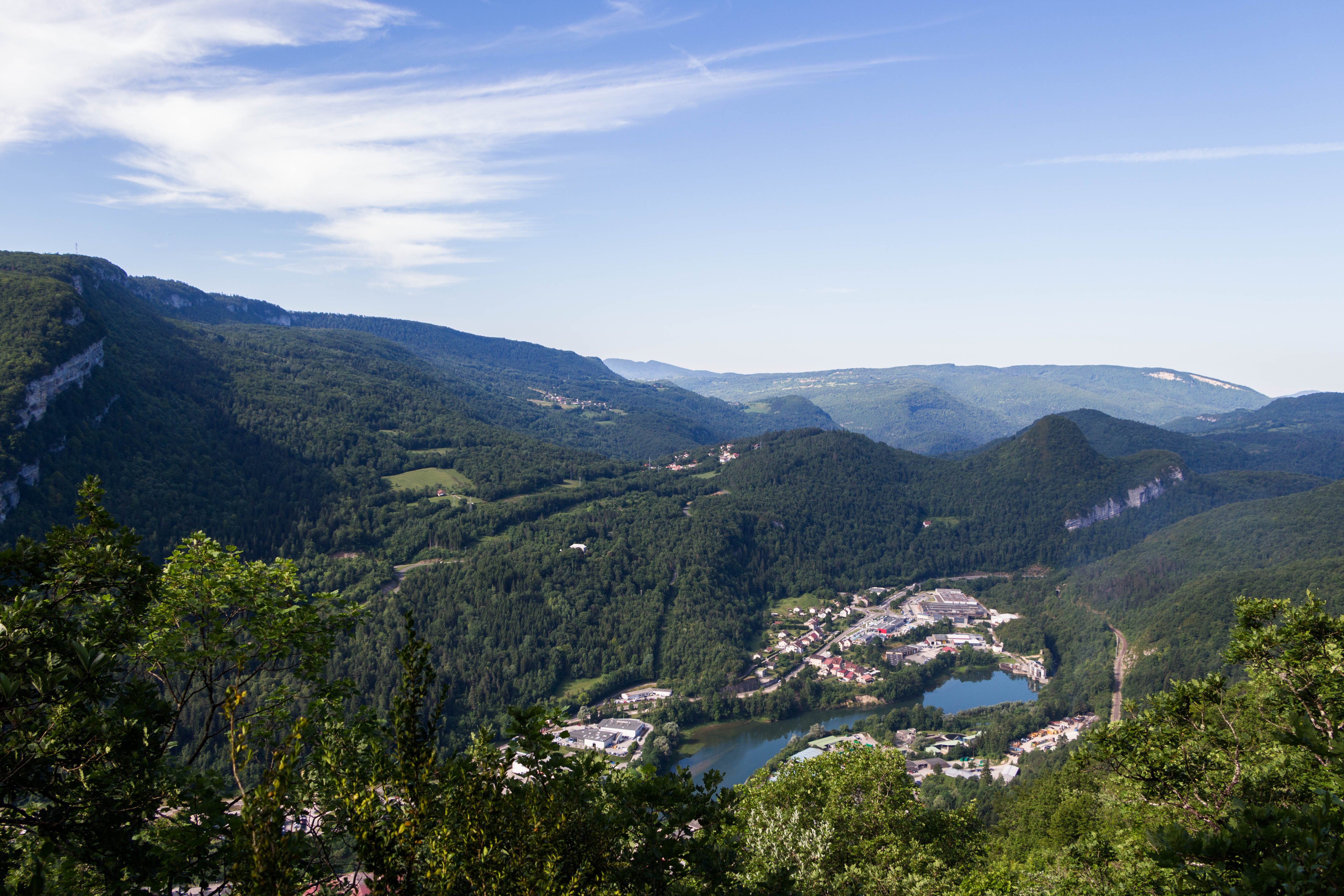
La Bataille
Here, the forest is queen. A peaceful trail will lead you under the fresh forest canopy. But do not be fooled, this calm facade hides the intense life inside; a diverse selection of fauna and flora reign over these woods. Strain your ears: the forest echoes with the hammering of a woodpecker; in the evening, the crystalline song of the Boreal Owl calls out.
5 points of interest
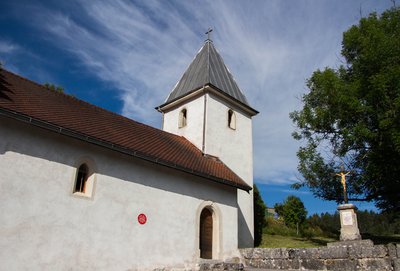
Chapelle Saint-Roch - PNRHJ / Nina Verjus History & HeritageThe Saint-Roch chapel
This chapel was built in 1649 by inhabitants, to fulfil a vow that they had made to escape the plague. It is a modest, vaulted structure, with a square tower serving as a bell tower (ref.: Le Rousset dictionary).
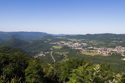
Vue depuis le belvédère de Ponthoux - PNRHJ / Nina Verjus ViewpointBelvedere of Ponthoux
At its foot, the village of the same name; and from south to north: the cliffs of Surmontant, the valley of Bienne, Lizon, Lavans-lès-Saint-Claude, Saint-Lupicin, Cuttura and Ravilloles. Stop and strain your ears. It is said that from here you can hear rumours from villages 2 kilometres away as the crow flies.
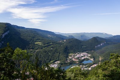
Point de vue du plan d'Acier - PNRHJ / Nina Verjus ViewpointViewpoint from the Plan d’Acier
At the foot of the Plan d’Acier’s high cliffs is the Bienne, imprisoned in this boxed-in location in the valley by the Étables dam. Since 1932, when it was first put to use, this dam has fed the electrical plant in Porte Sachet through a penstock pipe dug under the Truffet, the strange sugar loaf that overlooks one of the Bienne’s bends.
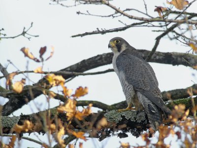
Faucon pèlerin - Fabrice Croset FaunaThe Peregrine Falcon
At the turn of the century, the peregrine falcon was known to nest in all regions offering suitable rocky environments, with cliffs being its favourite nesting place. The département of the Jura alone was home to around 60 couples during the 1940s. But their population soon declined and dropped to only 3 couples in 1968. Thanks to efforts to protect the species (awareness, biotope protection order), their numbers have now improved and there are now around 50 couples within the High-Jura Park.
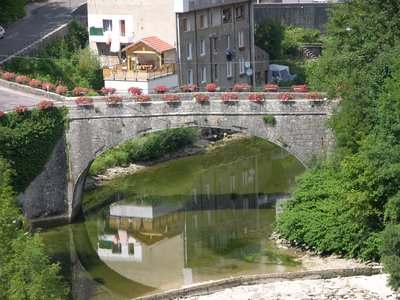
Pont d'Avignon - PNRHJ / Gilles Prost History & HeritageThe Avignon bridge in Saint-Claude
In Avignon, it all starts with a bridge... In the 13th century, the abbot of Saint-Claude called on the Pontiff brothers, a congregation of stonemasons from the region of Avignon in the Vaucluse department, to build two bridges over the Bienne: the Saint-Claude bridge and the Avignon bridge. The latter can be seen from the “pont des Pierres” that links “place du Truchet” to the “avenue de la Gare”.
Description
From AVIGNON-LES-SAINT-CLAUDE, the trail ascends (yellow waymarking) to the right of the chapel via a road (serving an allotment) and then an old path that follows along the fall line (bordered by ash trees and later by boxwood and junipers). Leave the road to your right and continue in the same direction. Exit onto a new road (limestone slab outcrops, characteristic of dry grasslands); follow this road for 200 m to the left until you come to a left bend (forest environment).
The forest path ascends to the right into a clearing, which alternates between mud and stone, until it comes to a flat area. The trail branches off to the right, northwards, to reach the clearing of the Grande Combe.
Head left on a narrower trail (old open environments followed by a beautiful high forest dominated by beech trees). The path heads west and reaches the BELVEDERE OF PONTHOUX after a few descents. The belvedere can be reached within a few minutes.
Head back the way you came and continue on a narrow trail to your right, then take a pleasant stone path to reach la Bataille.
Turn left and follow a path for 100 m. Take a narrower trail to your left, which often cuts into the stone. Descend via this trail. Head slightly uphill (reservoir on your left). Take the road to the electrical tower and follow it to the right to head back to the village and the parking lot where you started.
- Departure : Avignon-les-Saint-Claude
- Arrival : Avignon-les-Saint-Claude
- Towns crossed : Avignon-Les-Saint-Claude and Lavans-Les-Saint-Claude
Forecast
Recommandations
Be careful along the cliff edges after la Bataille.
This trail uses forest paths. To respect the owners and farmers granting you passage, and for the security of wild fauna, we ask that you remain on the waymarked paths. Use the adapted passageways to get across fencing and be sure to close gateways behind you. Please keep your dog on a lead if you have one.
Wild flowers are beautiful, they may be rare and protected and often wilt quickly. Do not pick them! They will delight the next hikers.
In case of forest works (felling, skidding, etc.), for your safety, know when to stop and turn around.
Information desks
Tourist information centre - Haut-Jura Saint-Claude
3 place de l'Abbaye, 39200 Saint-Claude
Transport
To visit and get about in the High-Jura, visit www.reshaut-jura.fr, the eco-mobility portal listing all means of transport within the Park.
Access and parking
4 km west of Saint-Claude, via the D 303 to the town hall.
Parking :
Report a problem or an error
If you have found an error on this page or if you have noticed any problems during your hike, please report them to us here:
