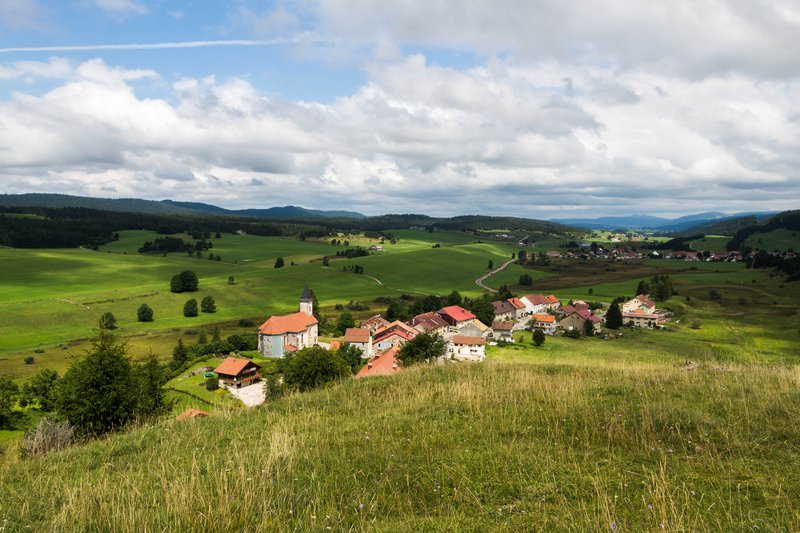
Le Lernier
4 points of interest
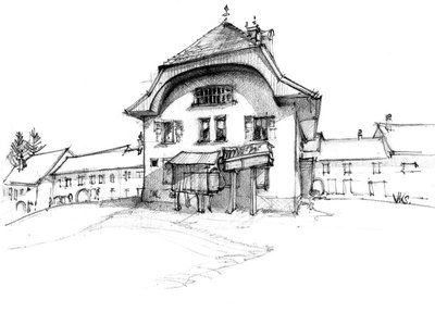
Fromagerie de Chaux-Neuve - History & HeritageThe old cheese dairy of Chaux-Neuve
The architectural shape of cheese dairies is often very different to that of houses. The location of the cheese dairy in Chaux-Neuve, in the centre of the village, tells us that it was considered a public building almost as important as the church, the town hall or the school.
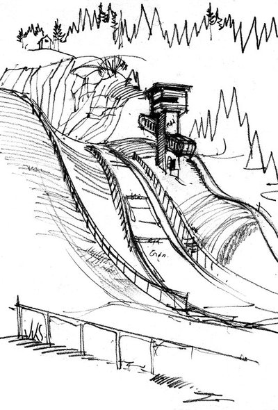
Tremplin de Chaux-Neuve - ViewpointTravel to the world of ski jumping from the belvedere of the Côté Feuillée
Three ski jumps, resembling the edges of knives, attack a rocky hillside; the Côte Feuillée is a natural site favourable to ski jumping. In the Chaux-Neuve stadium, an interpretive circuit allows visitors to appreciate this sporting landscape, with its summit offering a unique sense of a ski jumper’s feelings. An exhibition and a film presenting the Nordic combined, a sporting skill, and a true local way of life. Every year, “chauniers” (inhabitants of Chaux Neuve) welcome thousands of spectators during international ski jumping and Nordic combined competitions organised on this site.
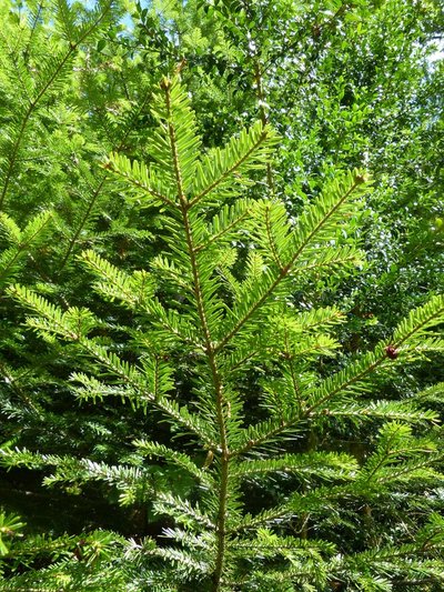
Saping - Gilles Prost - PNRHJ FloraFir tree or spruce?
The High-Jura is well-known for its softwood forests, comprised of fir trees and spruces, two species with shared characteristics (conical shape; and with persistent needles). How to differentiate between them?
On the fir tree, cones are directed upwards, its flat needles have two white lines on the underneath and their position on either side of the sprig is reminiscent of a comb; whilst on the spruce, cones fall downwards, the needles are sharp and positioned like a brush, all around the sprig.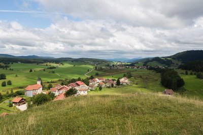
Belvédère de Roche-Blanche - Nina Verjus - PNRHJ ViewpointBelvedere of the Roche Blanche
Looking over the village of Châtelblanc at an altitude of 1,013 m, the belvedere of the Roche Blanche offers an in-depth view over the Val de Mouthe to the north, and over the high valley of the Saine and the isolated farms lining the forest of the High-Joux to the south.
Description
Starting at Cébriot (stream) facing the town hall, the trail heads up the village (white and red waymarking) to LERNIER, before (yellow and blue waymarking) following the D 46 and reaching l’Estanguillon.
The path heads up to the right through a valley with a small stream before exiting onto Sur la Chenoz where the first house's dam is proof of the existence of a former mill. The path then turns abruptly to the right, to access the COTE FEUILLEE.
The trail continues on a path that descends into a forest to the left (pay attention to the waymarking) until it reaches the Place à bois des Serments.
The path to the right, which is suitable for vehicles (white and red waymarking) passes through a combe to les Serments, and then (yellow and blue waymarking) comes to Bois des Ravières.
The Bridaux forebay waterfall and the vestiges of its mill can be accessed within 5 mins via LA SCIE. Be careful!
The route heads upwards towards Chatelblanc and quickly reaches (100 m) La Combette de la Roche. A grassy trail crosses through a pasture (MTB path) before exiting onto the Grand Réservoir.
The panoramic view from Roche Blanche is then accessible within 5 mins (there and back). Be careful!
When you have returned from the viewpoint, the good farm road that pleasantly overlooks the combe to the east joins up with "Chemin de la Roche" after a sharp bend to the left.
A barely-signposted trail to the right in the combe (MTB path) cuts through the meadows, joins up with a path and opens out into the heart of Chaux-Neuve, behind the old cheese dairy.
- Departure : Chaux-Neuve Cheese Dairy
- Arrival : Chaux-Neuve Cheese Dairy
- Towns crossed : Chaux-Neuve and Chatelblanc
Forecast
Altimetric profile
Recommandations
Be careful alongside the départementale road between Le Lernier and l’Estanguillon, around the Roche Bloche viewpoint and near the Bridaux forebay waterfall.
This trail passes through private property pastures with livestock and forest paths. To respect the owners and farmers granting you passage, and for the security of livestock and wild fauna, we ask that you remain on the waymarked paths. Use the adapted passageways to get across fencing and be sure to close gateways behind you. Lastly, please keep your dog on a lead if you have one.Wild flowers are beautiful, they may be rare and protected and often wilt quickly. Do not pick them! They will delight the next hikers.
In case of forest works (felling, skidding, etc.), for your safety, know when to stop and turn around.
Information desks

Tourist information centre - Val de Mouthe
3 bis rue de la Varée, 25240 Mouthe
Transport
To visit and get about in the High-Jura, visit www.reshaut-jura.fr, the eco-mobility portal listing all means of transport within the Park.
Access and parking
Parking :
Report a problem or an error
If you have found an error on this page or if you have noticed any problems during your hike, please report them to us here: