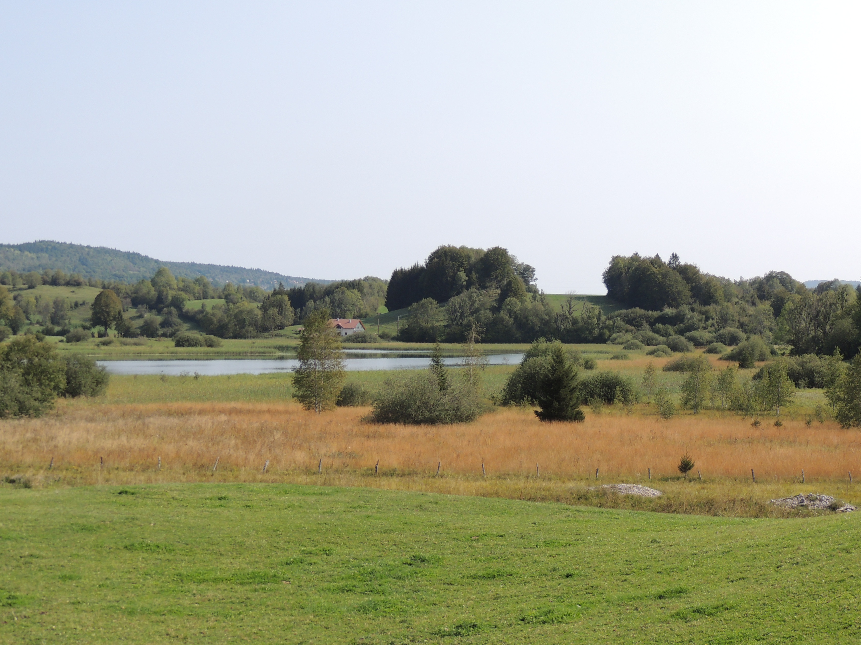
The three lakes
Three natural lakes and their peat bogs as well as many inhabited hamlets attest to the nature and the vitality of this Jura mountain.
13 points of interest
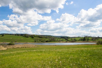
Lac à la Dame - PNRHJ / Nina Verjus History & HeritageThe legend of the Lady of the lake
Lake countries are haunted by many legends: faeries, knights and witches float above their mysterious waters. Several legends serve as the origin of the name “Lac à la Dame” (the Lady’s lake). One legend states that this small lake was dug out by the mysterious knight that wanders over the lakes of Bonlieu, Maclu and Narlay, at the request of a woman he once loved. In exchange for this favour, she would give herself to him body and soul. During foggy weather, you might see the Lady’s long white dress floating over the lake!
 History & Heritage
The Chalet “larmiers”
Used to air dairy products and a room where milk was stored to cool before being turned into cheese, “larmiers” are narrow and long vertical openings that can be seen on the facades of former cheese dairies like here in Les Monnets.
In the hamlet of Coin d’Aval, in the municipality of Fort-du-Plasne, you can visit an old chalet (or cheese dairy).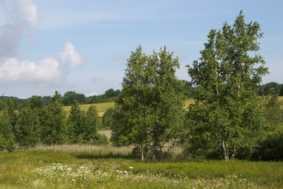
Tourbière de Fort-du-Plasne - PNRHJ / Nina Verjus FloraCharacteristics of the flora in peat bogs
The species living in peat bogs have adapted to the omnipresence of water, to few nutritional resources, to the chemical composition of the soil - which, in calcareous regions, can be acid or basic - and to a rather cold climate.
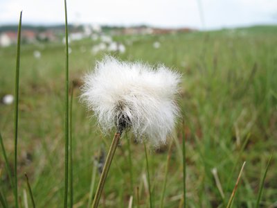
Linaigrette - PNRHJ / Pierre Levisse FloraCotton grass
Cotton grass, resembling a cotton bud with a white feathered end, is easily recognisable in peat bogs. Its meter-long roots enable it to store nutritional reserves, as the ground is very low in minerals. It’s a plant that is suited to a northern climate (cold). It was widespread across Europe a few thousand years ago. However, the climate subsequently grew warmer and it only survived in Scandinavian countries and in peat bogs, where no other plant is able to replace it.
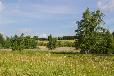
Tourbière de Fort-du-Plasne - PNRHJ / Nina Verjus Natural environmentsThe peat bog: a carbon well
The need to protect peat bogs is a recent revelation. These fragile environments play an important role in maintaining water quality and in naturally combatting the effects of drought and climate change. Plants absorb carbon dioxide (CO2) from the air by photosynthesis to form their tissue: leaves, trunk, stems, etc. When they die, they are decomposed by microorganisms in the ground and return the carbon into the air. But in a peat bog, the presence of water prevents decomposing organisms from working, which traps the carbon in the peat. Peat bogs only represent 3% of the surface of emerged land, but they store 30% of the Earth soils’ carbon!
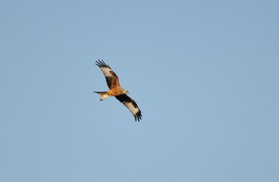
Milan Royal - Fabrice Croset FaunaThe red kite
This raptor is easily recognisable due to its long, indented tail. With its impressive size, this bird is a wonderful glider. It looks for its food in-flight. An opportunist, it watches the ground attentively to find rodents, lizards or the carcasses of other dead animals. Small prey (insects, earthworm or reptiles) can be hunted by walking through the meadows. Therefore, you will often see the red kite above freshly-cut meadows.
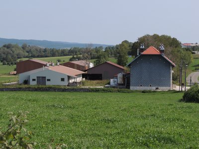
Ancienne fromagerie - PNRHJ - F. Jeanparis History & HeritageView over the old cheese dairy
As from the 18th century, cheese specialisation and the pooling of milk in cooperative structures - “fruitières” - brought farmers out of a self-subsistence economy. Cheese production, which became more and more organised, also became more profitable thanks to the trade networks promoted by “rollers” (road hauliers) in particular. Traders would deliver cheeses to the main French cities, including Lyon.
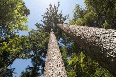
épicéas - PNRHJ / B. BECKER FloraMont Noir forest
Spread across 1873 hectares, the Mont Noir massif is one of the largest Jura forests. It is currently made up of dark-leaved trees, such as fir, spruce and beechwood, hence its name. Stags, boar and roe deer live here alongside the lynx and the western capercaillie. Wood exploitation is an important economic activity for our mountains. However, the forest also accommodates hikers wishing to take long works on the waymarked paths, both during summer and winter. Share this area and be careful if you come across forest works.
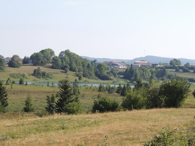
Lac des Rouges Truites - PNRHJ - F. Jeanparis Natural environmentsView over the lac des Rouges Truites peat bog
Inherited from the icebergs which covered the Jura ten thousand years ago and left behind moraines with water-tight bottoms, a peat bog formed from the accumulation of stagnant water full of cold-resistant plants. The moving soil in peat bogs are made up of a thick carpet of peat moss, on which a few well-adjusted plants are able to grow (cranberry, cottongrass, andromeda, drosera, mountain pine, etc.) These fragile environments are of biological interest and must therefore be preserved.
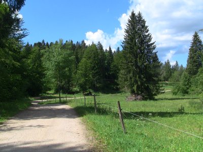
Epicéas en bordure de forêt - A.RULLIER FloraThe spruce
A widespread conifer in Europe, this tree is the ultimate tree of mountainous regions. Some high-quality wood can be used for lutherie to make soundboards for various instruments (violins, guitars, etc.). However, most of production is used for lumber (construction and woodwork).
It is often confused with fir. However, a keen eye will be able to notice a difference in the needles, which are pointed on the spruce and flat and rounded on the fir, or in the position of the cones (fir cones). The spruce’s cones direct downwards at the end of drooping branches, whilst the fir’s cones point upwards at the end of upright branches.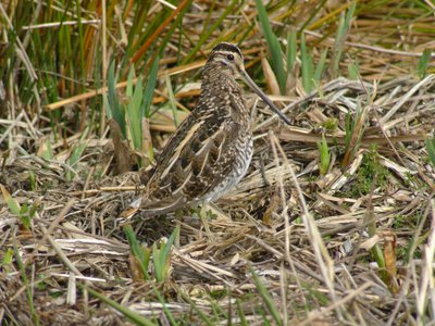
Bécassine des Marais - F.CROSET FaunaThe common snipe
Although several species of water birds can be seen in this area, the common snipe is one of the most emblematic. This migratory bird loves humid environments where it can hide and feed. Its long, thin beak has a flexible end enabling it to feel for its prey in water or mud, close to the high vegetation on the shore. This allows it to feed mostly on invertebrates. Today, the common snipe is one of the rarest and most endangered nesting species in France. But here, a keen ear may still be lucky enough the hear its “drumming”, the sound that it makes during its courtship display flights, usually at dusk during the spring months.
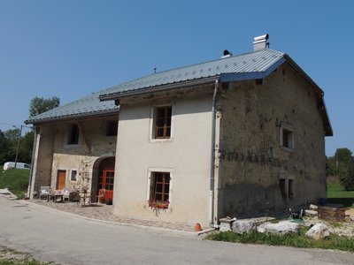
Maison de Sous le Mont Noir - PNRHJ - F. Jeanparis History & HeritageHamlet and neighbourhood
A place of family history and a geographical marker, houses are part of an often-strong neighbour and inter-knowledge network. Some farms or lands bear the name of one of their former occupants when the latter left a mark. In a dispersed housing context, in which hamlets are far apart from one another, the specific characteristics of their natural environment - and even personal histories - also give them their names: Sous le Mont Noir, Grange à l’Olive, etc.
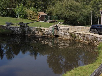
Petite retenue d'eau - PNRHJ - F. Jeanparis History & HeritageTaming the river
Originally part of a self-sufficiency economy, crafts activities provided for domestic needs or for the needs of a restricted trade. Tanneries, smithies, hemp beater mills and grain mills sprouted along the waterway and today, many of their infrastructures still exist: paddle wheels, dams, water supply canals, etc. (PNRHJ - Collection patrimoine, “Heritage collection”)
Description
Head down the village and to the crossroads with the D 437 to find the FONCINE-LE-BAS intersection (
 ).
).
Turn right up the “chemin de la Grande Vie” which on exiting the village becomes a white path bordered by pastures. Exit in Les Fumey.
Cross the D 62 with care and follow the little tarmac road to the Lac à la Dame (the Lady’s lake).
Continue on the road around the lake, through a hamlet, and then head to Les Monnets via a little trail that branches off to the right.
Head through the hamlet, and on exiting it take the road that turns left down towards Les Voigneurs.
Take the white path that turns left after a building and follows along a peat bog, before exiting onto the D 62 at the entrance of Fort-du-Plasne. Head down the road to the village and towards La Fontaine Ronde (the round fountain).
Take the little road to the left that heads down towards Le Crêt. Behind the village, cross a road and take a stony path that turns muddy and heads up to the forest. Then exit once again onto the road, and follow it to the right to quickly reach Le Crêt.
Continue on this road and head down to Les Thévenins, the hamlet of the Lac-des-Rouges-Truites.
Carefully cross the D 437 to reach La Gare (the train station) and continue to reach LE BUGNON (

 ).
).
Turn left onto a white path along the edge of a combe, through the middle of the pastures. Head past the Pont du Rquai and the Fontaine aux Cernois (Cernois fountain) to reach the hamlet of Sous le Mont Noir.
Head down the road to your right and continue straight through the pastures, leaving the hamlet. The trail branches off to the left (MTB path) and heads through the forest to LA GRANGE A L’OLIVE.
Take the tarmac road to the left overlooking the Galavo rivulet, head through the hamlet of La Gypserie to reach the D 437. Turn right, down to the village of FONCINE-LE-BAS.
- Departure : Foncine-le-Bas
- Arrival : Foncine-le-Bas
- Towns crossed : Foncine-Le-Bas, Fort-Du-Plasne, and Lac-Des-Rouges-Truites
Forecast
Altimetric profile
Sensitive areas
- Impacted practices:
- Aquatic,
- Sensitivity periods:
- JanFebMarAprMayJunJulAugSepOctNovDec
- Contact:
- Parc naturel régional du Haut-Jura
29 Le Village
39310 Lajoux
03 84 34 12 30
www.parc-haut-jura.fr/
- Impacted practices:
- Aquatic,
- Sensitivity periods:
- JanFebMarAprMayJunJulAugSepOctNovDec
- Contact:
- DREAL Bourgogne-Franche-Comté
Cité administrative VIOTTE
5 voie Gisèle Halimi - BP 31269
25005 BESANÇON CEDEX
Tél : 03 39 59 62 00
Recommandations
This circuit crosses several main roads, take care when crossing.
For an MTB outing, wear a helmet and bring enough water.
Paths are shared with pedestrians and horse riders, who have priority, therefore, please adapt and control your speed.
To use MTB paths, do not hesitate to get down from your bike.
This trail passes through pastures and forest paths. To respect the owners and farmers granting you passage, and for the security of livestock and wild fauna, we ask that you remain on the waymarked paths and close gates behind you where there are no MTB paths.
Wild flowers are beautiful, they may be rare and protected and often wilt quickly. Do not pick them! They will delight the next admirers.
In case of forest works (felling, skidding, etc.), for your safety, know when to stop and turn around.
Information desks
Tourist information centre - Haut-Jura Grandvaux
7 place Simone Veil, 39150 Saint-Laurent-en-Grandvaux
Transport
To visit and get about in the High-Jura, visit www.reshaut-jura.fr, the eco-mobility portal listing all means of transport within the Park.
Access and parking
10 km north-east of Saint-Laurent-en-Grandvaux via the D 437 through Lac-des-Rouges-Truites.
20 km south of Champagnole by heading up the Saine valley through the villages of Syam and Planches-en-Montagne via the D 127.
Parking :
Report a problem or an error
If you have found an error on this page or if you have noticed any problems during your hike, please report them to us here:
