Hike around la Barme
The charm of this hike lies in the swallowed valleys, the opposition of more or less abrupt slopes, the contrast of colours every season, the purity of limestone rocks and the blue reflections of the Coiselet lake. The practiced eye may even see snake eagles gliding above in search of food.
10 points of interest
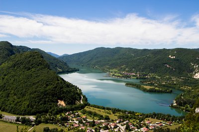
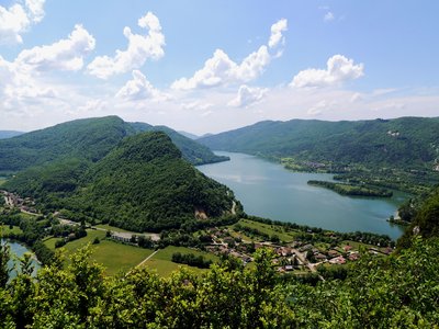
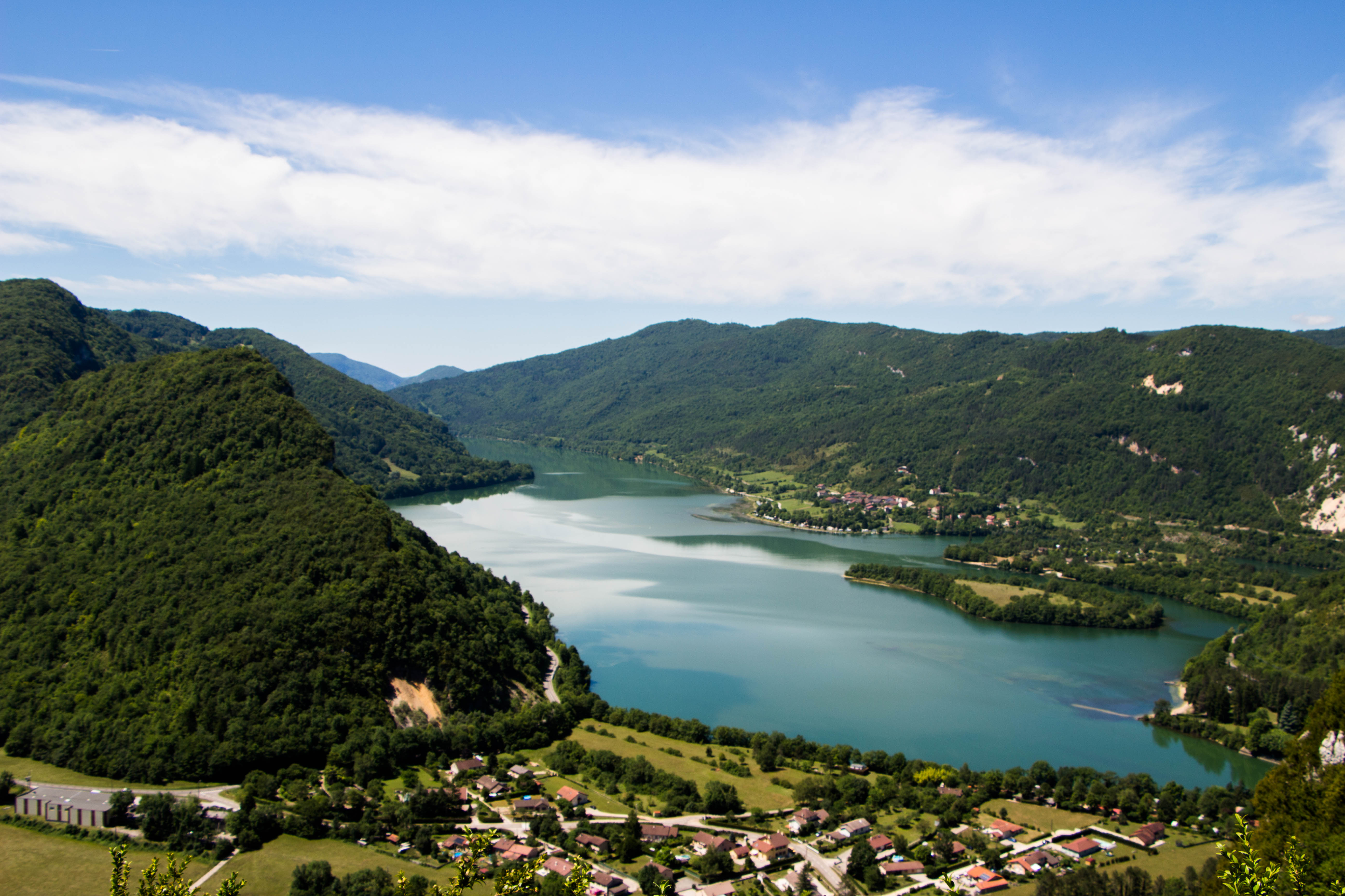
Vue sur le lac de Coiselet - PNRHJ / Nina Verjus ViewpointViewpoint over Coiselet lake
Coiselet lake is an artificial lake created in 1970, when the dam of the same name was first commissioned. It is located on the edge of the Ain and Jura departments. It is the Jura’s southern-most lake, fed by the Bienne and Ain rivers.
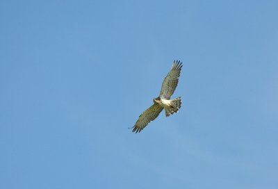
Circaète jean-le-blanc - Fabrice Croset FaunaThe short-toed snake eagle
The short-toed snake eagle feeds mainly on reptiles (snakes, large lizards, etc.). It can therefore sometimes be seen gliding over dry and rocky grasslands in search of food. In the winter, when reptiles are rarely found, it leaves the Jura and heads to Africa.
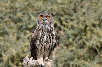
Grand Duc d'Europe - Fabrice Croset FaunaThe Eurasian eagle-owl
This is the largest nocturnal bird of prey in the world! It is almost 70 centimetres tall (as tall as a table). This formidable night hunter feeds on various type of prey including voles, fox cubs, hedgehogs and even peregrine falcons.
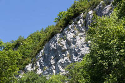
Milieu rupestre - PNRHJ / Nina Verjus Natural environmentsRocky environments
Cliffs, screes and rocks are rocky, rupestrine environments. Their long exposure to shade or sun, and the lack of soil mean that the plant species living there must constantly adapt. Storing water in thick leaves, hairiness, leaf folds to avoid perspiration and dwarfism are all features that plants have developed to survive in this mineral environment. Some birds have become specialists in nesting in cliffsides, such as the peregrine falcon, the alpine swift and its 60-cm wingspan or the Eurasian crag martin. Uninterested in these open environments, the rare short-toed snake eagle, which eats snakes, the Eurasian eagle-owl or the red kite prefer to nest in the large trees below.
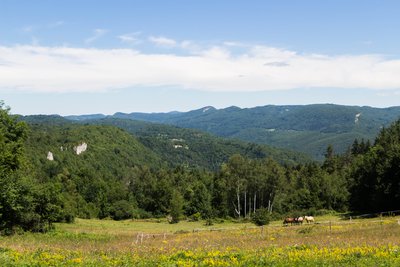
Vue depuis Grand-Serve - PNRHJ / Nina Verjus ViewpointViewpoint over Grand Serve
From here you will see the valley of the Bienne and the mountains surrounding Saint-Claude, such as the pyramid of the Crêt Pourri, bordered by the Fresnois rock, and in the distance, the High-Jura mountain range.
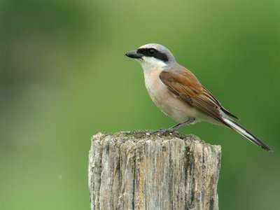
Pie grièche écorcheur mâle - Fabrice Croset FaunaThe red-backed shrike
Particularly partial to prairies scattered with hedges and bushes, both leafy and thorny, the red-backed shrike is easily recognised. The black band around its eyes gives it the look of a masked avenger. Despite its timid nature, it doesn’t mind being exposed atop a high perch, in search of its next meal. A migratory bird, this species lives in France from May to the end of August or mid-September and spends its winters in Africa.
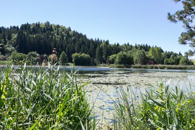
Lac de Chanon - PNRHJ / Nina Verjus Lakes & RiversChanon lake
In 1926, wood turning represented two-thirds of industrial activity in the canton of Moirans. In Martigna in 1930, of 300 inhabitants, 30 were wood turners or farmer/wood-turners (D. Schwint, 1997). Like in Martigna, the small sawmills that used the lake’s spillway to action the paddle wheels were turned into wood-turning workshops as soon as electricity became available.
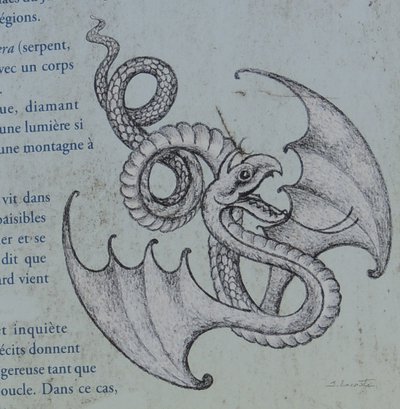
PNRHJ / F. JEANPARIS - F. JEANPARIS History & HeritageLa Vouivre
“It spoke with a young and resounding voice, with a Jura accent with wide open vowels, clear like a white loaf in which consonants take a decisive bite. [...] The Vouivre flat on its stomach in a bed of reeds, bathing in the sun with a bare bottom and its ruby dress alongside it, indeed.” This is how Marcel Aymé, an author from Franche-Comté, described the Vouivre in his book of the same name;
The Vouivre is usually described like a winged, flamboyant serpent with a garnet as its only eye, a fabulous diamond whose value, beauty and power is equalled only by the lust that it arouses in men. Often associated with desire, the Vouivre is also represented as a half-woman, half-serpent. Legend says that the creature only left its treasure to bask in the calm waters of the humid Jura environments. But beware of still waters... we don’t recommend attempting to steal its garnet!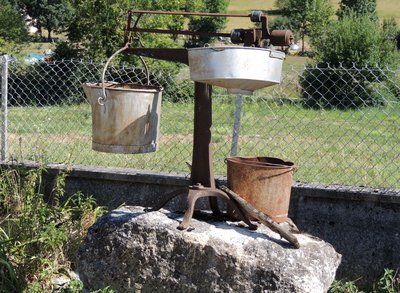
Ancien pèse-lait - PNRHJ - F. Jeanparis History & HeritageOld lactometer
Note the old lactometer visible at the junction of the two roads in Nezan. Livestock breeders and dairy producers working together under cooperatives would bring their production to the shared dairy (“fruitière”) in the morning and the evening to transform it into cheese and to mature.
The milk was weighed using this object to calculate their production, paid for based on weight and quality (pureness, fat content, dry weight, etc.), and not based on the number of litres.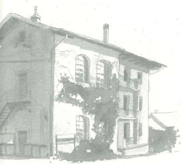
Ancienne tournerie Montcusel - PNRHJ / Roman Charpentier History & HeritageOld wood-turning factory
These “municipal” wood turning factories, built by the Union Électrique (electricity union), were used for rural production, but were also important social locations, particularly during the winter period. Several members of one family could rent a wood-turning space in the workshop, pooling their production for sale to the Moirans traders. According to some authors, municipal workshops weren’t used by specialised craftsmen, who preferred to protect their manufacturing secrets for specific markets. Spaces in the wood-turning workshop were mostly beneficial to farmers who could use them to earn additional income without any investment costs (C. Picod, 1991).
Description
From the town hall (yellow waymarking), the trail descends to the village centre in MONTCUSEL, before ascending to the left via “rue de la niella” to reach la Neyelle. Follow the shaded path to the right and exit onto the hand-gliding take-off area. Continue on the main road that descends southwards.
Branch off to the east, then head north, go past the Cul de la Pra and then ascend to the hamlet of GRAND SERVE. Follow a road to the right until you reach la Queille after two bends. Descend on a good path along the side of the hill looking over Douvre. Arrive at les Vignes (wide bend).
Continue to your left to the bottom of a pasture. A gravel path, with two bends, opens onto a meadow (boxwood, junipers, pine trees, white birches). Head along the pasture and continue north on a sunken path. Reach Chanon.
Continue on the road to your right until you come to CHANON LAKE, and then la Côte de Venière. The stone path to your left borders the meadows before reaching Chemin de Cruzille, under the forest canopy. Head under a power line (viewpoint over the Ain valley at the foot of the Vouglans dam). Take an earthy path in a southwestern direction heading along the Owl’s mound. The stony path passes through la Meille and descends to NEZAN.
Follow the road to the left and, at a drinking trough, ascend to the right on a trail followed by a road. Around 50 m after a pass (725 m, viewpoint), return to MONTCUSEL to the right.
- Departure : Near the town hall, Montclusel
- Arrival : Near the town hall, Montclusel
- Towns crossed : Montcusel, Jeurre, Martigna, and Lect
Forecast
Altimetric profile
Sensitive areas
- Impacted practices:
- Aquatic,
- Sensitivity periods:
- JanFebMarAprMayJunJulAugSepOctNovDec
- Contact:
- DREAL Bourgogne-Franche-Comté
Cité administrative VIOTTE
5 voie Gisèle Halimi - BP 31269
25005 BESANÇON CEDEX
Tél : 03 39 59 62 00
Recommandations
Be careful, there are many successive ascents and descents.
This trail passes through pastures with livestock and forest paths. To respect the owners and farmers granting you passage, and for the security of livestock and wild fauna, we ask that you remain on the waymarked paths. Use the adapted passageways to get across fencing and be sure to close gateways behind you.
Please keep your dog on a lead if you have one.
Wild flowers are beautiful, they may be rare and protected and often wilt quickly. Do not pick them! They will delight the next hikers.
In case of forest works (felling, skidding, etc.), for your safety, know when to stop and turn around.Transport
To visit and get about in the High-Jura, visit www.reshaut-jura.fr, the eco-mobility portal listing all means of transport within the Park.
Access and parking
12 km south of Moirans-en-Montagne via the D 299 and the D 295.
Parking :
Report a problem or an error
If you have found an error on this page or if you have noticed any problems during your hike, please report them to us here:
Close by1
- Laid-out site
Laid-out site
Sous la Roche belvedere
Take the time to appreciate the view: the blue waters of the Lac de Coiselet, created by a dam downstream, wind along the bottom of a distinct relief.
With a bit of patience, you may see some of the birds of prey that nest in the nearby cliffs, and you can use the interpretive signs on-site to recognise their species.
