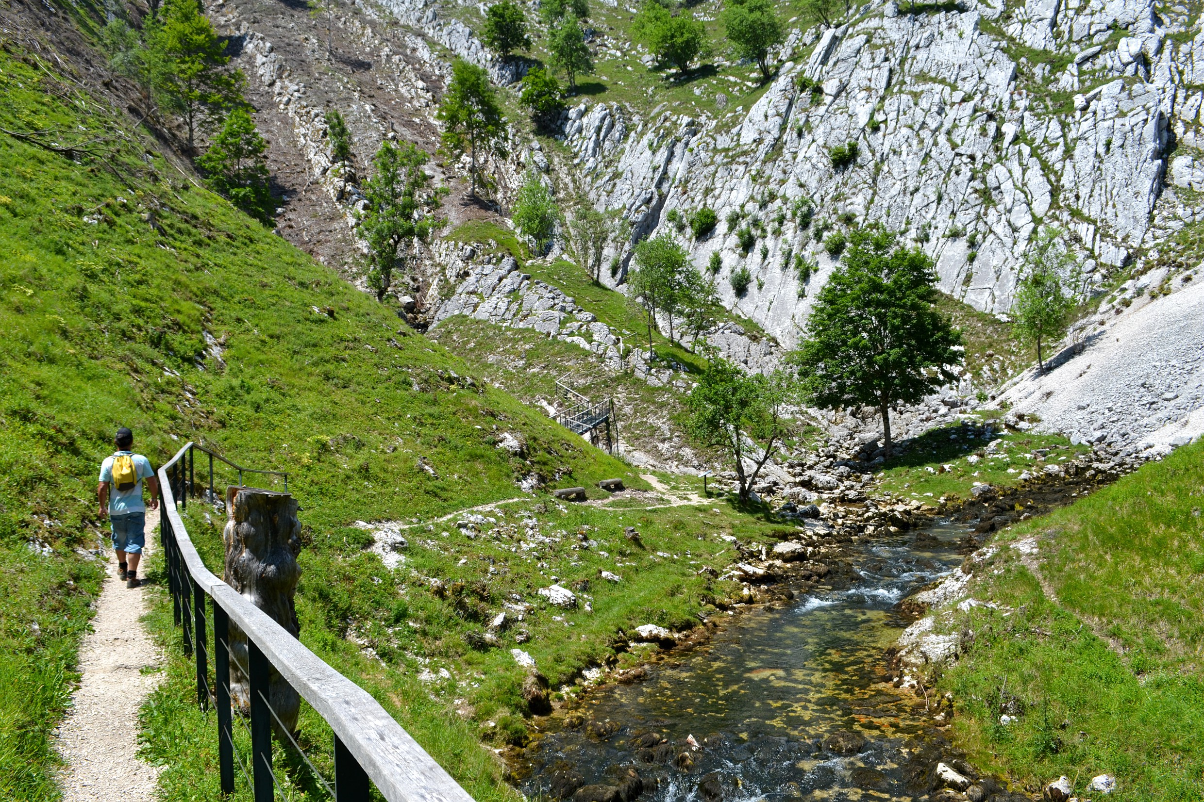
The Saine's source
10 points of interest
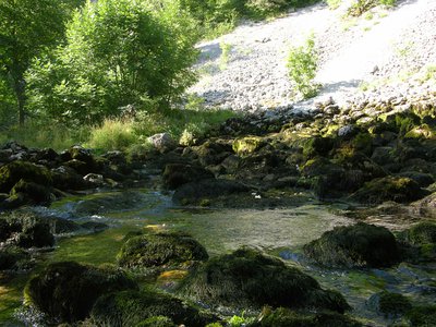
Source de la Saine - PNRHJ / Gilles Prost Lakes & RiversThe source of the Saine, a karst spring
The Saine, or formerly the “Sène” springs from an intimate location at the foot of a rocky amphitheatre under the eastern slope of the Croz Mont mountain forest. Its waters have travelled a long way underground through galleries that have been carved over time into the limestone. Its flow rate varies, not according to the rainfall on that day or the previous day, but according to the rainfall having occurred several days before over the massif. The source once sprung from much higher up in the rocky fault. Today, it only uses these old exits during times of high flow rates. Above Foncine-le-Bas, the flood and temporary waters of the Creux des Joyaux are said to occur due to excess waters in the Saine’s underground reserves.
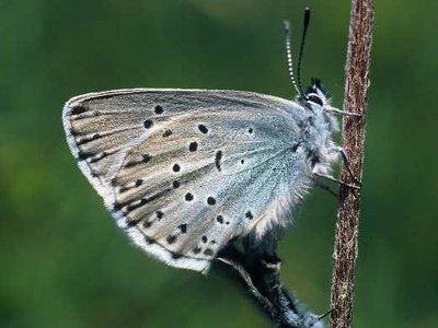
Azuré du serpolet - Claude Le Pennec FaunaAn intruder in the anthill
In the dry meadow around you, you may notice small blue flashes: the mountain alcon blue and the large blue live close to the star gentian and Breckland thyme. They will only lay their eggs on these plants. Once hatched, the caterpillars feed on the flowers, before falling to the ground. They give off a special smell, which ants respond to by carrying them to their nest to protect them through the winter. In the early summer, they turn into butterflies and leave the antihill.
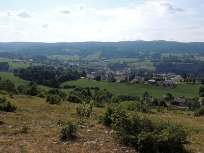
Vue sur Foncine-le-Haut - PNRHJ - F. Jeanparis ViewpointView over a Jura valley
“Following the 1349 plague epidemic, the Sires of Chateauvillain (the village of Sirod) favoured the settlement of thirty heads of family from Switzerland, Bugey and Savoie. They granted them lands here and there at the valley’s discretion. The vast scattering of hamlets and isolated houses in this landscape is the result of this seigneurial decision.” (CPIE of the High Doubs). From this viewpoint, learn about other stories that are interwoven with this landscape from the interpretive signpost.
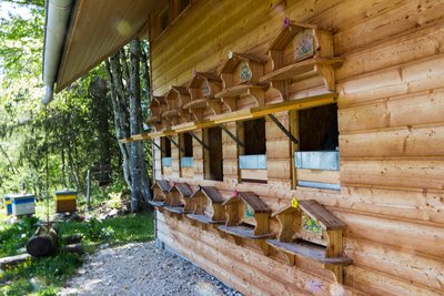
Rucher école du Bayard - PNRHJ / Nina Verjus Pastoralism and agricultureRucher, the Le Bayard school
Managed by the association “Le Rucher du Bayard” (The Bayard’s apiary), this educational apiary opens its doors to the fascinating world of bees.
Events every Monday and every Thursday in July and August on reservation with the Tourist Office of Foncine-le-Haut on 03 84 51 93 11.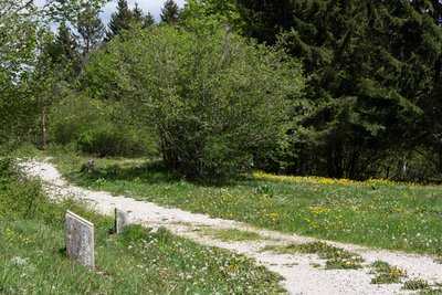
Sentier botanique du Bayard - PNRHJ / Nina Verjus FloraThe Botanical Trail of Le Bayard
This trail, punctuated by many markers, shows the diversity of typical local plants (yellow gentian, thyme, hawthorn, etc). in this dry rocky pasture, and its evolution depending on pastoral activity.
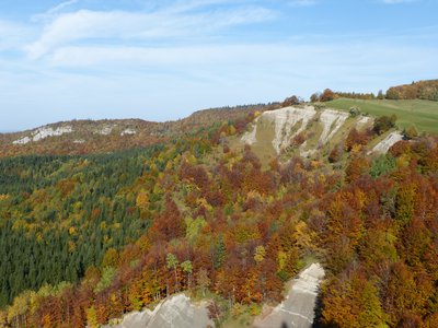
Belvédère de la Roche fendue - PNRHJ / Gilles Prost ViewpointBelvedere of the Roche fendue
On the hills of Foncine-le-Haut, the belvedere of the Roche fendue overlooks the heavenly combe, protected by a Biotope Protection Order benefitting its riparian birds and limestone ledges. It also offers a view of the spectacular erosion of a layer of grey marls in the ravine of les Arboux, which is reactivated during each spell of rain.
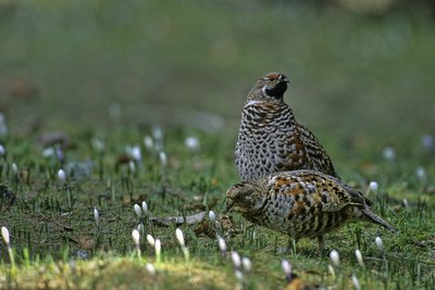
Gélinotte des bois - GTJ / Jean-Lou Zimmermann FaunaThe Hazel Grouse, a discreet bird
The hazel grouse is a member of the same family as the Western capercaillie. While it once lived in all Jura forests, it now only survives above 600 metres in altitude. In a territory ranging from 10 ha to 50 ha, the hazel grouse seeks a mosaic of environments resembling a patchwork with grassy areas and a dense and leafy understorey bush cover, which allows it to both feed (catkins, buds, hawthorn, raspberries, etc.), to feed its chicks and to protect itself from predators (martens, foxes, etc.). It is so discreet, you would be lucky to see one.
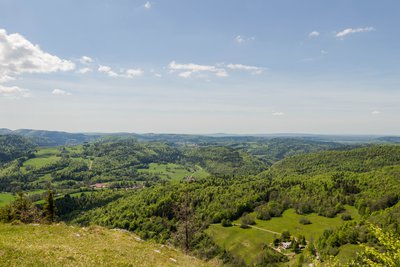
Belvédère du Couillou - PNRHJ / Nina Verjus ViewpointBelvedere of the Couillou
The belvedere offers a 180-degree panoramic view over the lac à la Dame, the combe of Entre-Deux-Monts, the Gorges of Malvaux and the Côte Poutin, by overlooking the village of Planches-en-Montagne and the hamlet of Nevreaux.
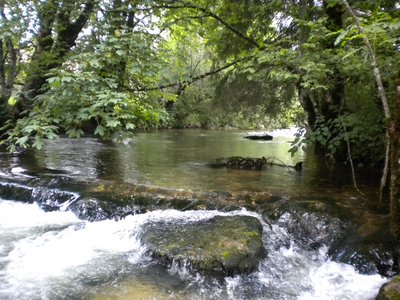
La Saine - PNRHJ / Bertrand Devillers Lakes & RiversThe Saine, a river full of fish
The Saine springs near the village of Foncine le Haut, at an altitude of 892 m, and runs into the Ain river after travelling approximately 19 km.
The rare installations along the Saine have allowed to maintain an interesting diversity of aquatic habitats (comprised of large blocks, stones, gravel, etc.). Combined with the quality and undeniable freshness of its waters, the Saine is a river that is perfectly suited to the needs of the brown trout.
It is therefore one of the rivers with the most fish in the département of the Jura.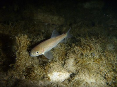
Truite fario - PNRHJ / Pierre Durlet FaunaThe brown trout
The brown trout is a fish that is entirely suited to the Jura’s rivers, with their fresh and torrential waters. It has a slender fusiform body that is perfectly adapted to fast swimming. It feeds on the larvae of aquatic insects but also on small fish (including other trout!)
However, this species is very sensitive to the quality of water and to the artificialisation of waterways, which often goes hand in hand with the destruction of spawning grounds, caches and feeding grounds. Obstacles to the movement of trout also hinders the development of their numbers.
Description
The SAINE'S SOURCE is accessible (yellow waymarking) within 15 mins out and back (interpretive sign - The Saine's source).
On returning from the source, a trail ascends to the right (yellow and red waymarking) towards le Bayard. The trail follows along a pasture, overlooking the Foncine valley, before following a grassy path. At Sous-le-Bayard, the stony path branches off to the right and quickly heads up to la Vie-Romaine. The path then gradually ascends to the left to the botanical trail of le BAYARD.
After 50 m, the little road to the right will lead you to La Combette aux Loups.
To the left, the path will take you to the LA ROCHE FENDUE belvedere through the pleasant undergrowth. Head a few meters back the way you came and continue right along the ridge until you reach Côte Bayard, then turn left and gradually descend through the Junipers, until you reach the Renvers des Ruines pass.
The Couillou belvedere can be accessed to your right within 5 mins there and back.
On returning to the pass, the road to the right descends to the Chemin du Col (yellow waymarking) before cutting through the LES RUINES hamlet (18th century chapel).
Exit the hamlet and take the rural path that heads to the right and will lead you to the Grange-Charnoz before joining up with the road at an oratory (dated 1747) and reaching Le Bas-de-Ville. Continue on this road to the left, and then take the path towards La Vie-à-Gayet.
The trail turns right, crosses the road and descends towards a sawmill. Cross the D 437 at Choudet mill. Continue straight ahead to join the Saine and cross the Thiémont bridge. Take the path around to the left towards les Isles, following along the river's left bank to reach your point of departure.
- Departure : Foncine-le-Haut
- Arrival : Foncine-le-Haut
- Towns crossed : Foncine-Le-Haut
Forecast
Altimetric profile
Recommandations
This trail passes through pastures with livestock and forest paths. To respect the owners and farmers granting you passage, and for the security of livestock and wild fauna, we ask that you remain on the waymarked paths.
Use the adapted passageways to get across fencing and be sure to close gateways behind you. Lastly, please keep your dog on a lead if you have one.
Wild flowers are beautiful, they may be rare and protected and often wilt quickly. Do not pick them! They will delight the next hikers.
In case of forest works (felling, skidding, etc.), for your safety, know when to stop and turn around.
Access and parking
Parking :
Report a problem or an error
If you have found an error on this page or if you have noticed any problems during your hike, please report them to us here:
Close by1
- Services
Services
CNJ Tourisme - Foncine-le-Haut
The Jura Monts Rivière tourist office was created in 2004 by bringing together the Champagnole tourist office and that of the Pays de Haute Joux Mont Noir. Its reception offices and its dynamic, available and attentive team were maintained in Champagnole, Nozeroy and Foncine.
