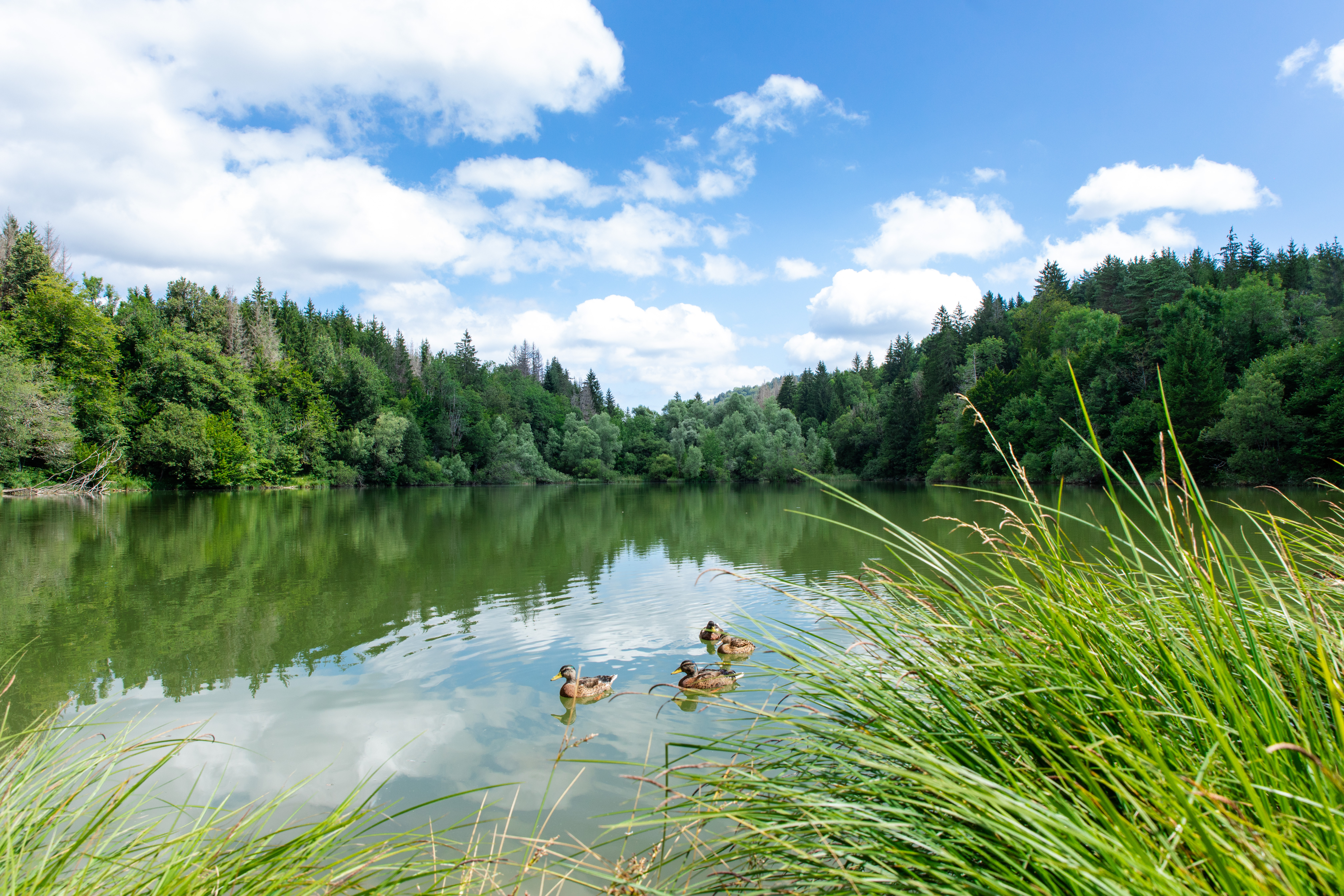
The Gorges of the Lizon
6 points of interest
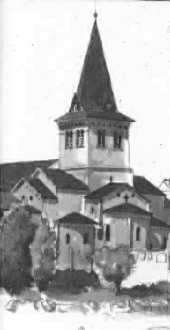
Église de la nativité de la vierge - PNRHJ / Roman Charpentier History & HeritageThe Romanesque church of Saint-Lupicin
Classed a historical monument in 1906, this church dates back to the first half of the 11th century. It underwent many changes between the 17th and 20th centuries. A few years ago, the church was also subject to archaeological excavations carried out by a team from the CNRS - the French national centre for scientific research - (S. Bully, 2007), during which Saint-Lupicin’s tomb was discovered inside the current structure. The Romanesque church is said to have been built around the tomb.
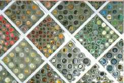
Boutons du plateau du Lizon - PNRHJ / Fête du Haut-Jura History & HeritageThe buttons of the Lizon plateau
Much like the High-Jura plateau, the history of the Lizon plateau is closely tied to wood-turning. The villages on the plateau set themselves apart by manufacturing turned buttons. In 1830, the Lizon’s waterway was been equipped with mill wheels. Around 1900, electric turbines served to action several tens of wood lathes, to replace hand and foot wood turning methods. Tubes, whistles, nib holders, etc., were all made from turned bone. The idea of manufacturing buttons first appeared after the 1929 crisis, during which the American market collapsed. Originally made of galalith - a plastic manufactured using milk - they were later made using acetate, plexiglass and polyester. In 1960, injection moulding and the mass production of buttons became popular and served to revive the turning of decorative buttons. To date, High-Jura companies still account for over 80% of French button manufacturing.
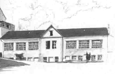
Ancienne usine "La Lunette" - PNRHJ / Roman Charpentier History & HeritageOld “la Lunette” factory
The Tournier brothers, manufacturers of glasses and nose clips, and traders in Morez, turned the site of the former 18th-century mill into an eyewear and wood turning factory in 1881. The Tournier brothers would later invest in the production of electricity, building a plant downstream of the factory. The sale of electricity produced on-site was both a financial guarantee for investors (the electricity was resold to local municipalities and workshops) and a sign of economic success. Their monopoly over this power source afforded them a prestigious social position.
The company “les Fils d’Emile Tournier”, which was the first to manufacture glasses in moulded plastic, closed its doors in 1930.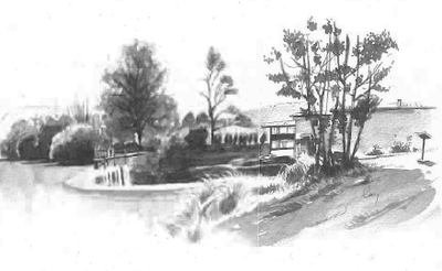
Barrage de Cuttura - PNRHJ / Roman Charpentier History & HeritageThe Cuttura dam
This reservoir dam, built in 1903 by the Tournier company, was “intended to store the Lizon’s waters during floods and work stoppages for better distribution during working hours” (Agreement between petitioners, 1903). Located around 70 metres after the bridge, the dam also served to improve the factory’s ability to produce electricity to supply the neighbouring municipalities and to resell unused driving power to the nearby wood turning workshops. Sold to the Union éléctrique (electricity union) in 1937, this hydro-electric plant has now fallen into ruins.
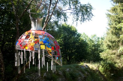
Oeuvre - PNRHJ / Gilles Prost Know-howThe craftmanship discovery trail
Scattered along an easy and enjoyable 3-kilometre trail, part of which follows along the Lizon river, fun works of art complete your visit of the High-Jura’s craftmanship workshop as you are guided on your way by pointing hands. The works of art (spinning top bridge, stained-glass dress, bell mechanism, etc.) were designed and created by local artisans.
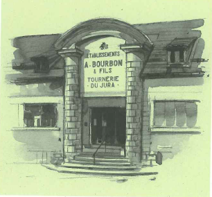
Ancienne usine Bourbon - PNRHJ / Roman Charpentier History & HeritageThe Atelier des savoir-faire (the craftmanship workshop)
The building that once housed the old Bourbon factory, which used to manufacture ballpoint and fountain pens, is now home to the Atelier des savoir-faire (the craftmanship workshop) which aims to teach about many craft secrets. Five areas open to the public offer a better understanding of wood-turning and High-Jura craftmanship as well as a discovery of craft occupations. From raw materials to manufactures items, tools to practices, thousands of objects on display demonstrate such craftmanship. Temporary exhibits, events and courses are on offer at the Atelier all year round!
Description
From SAINT-LUPICIN, the trail takes rue du Curé-Marquis (yellow and red waymarking), heads 100 m past the Havas Fountain, and then branches off to the left on a grassy gravel path that descends into the gorges of the Lizon until it reaches Old Bridge (accessible 100 m away).
The forest path heads off to the left and, after a bend, overlooks the gorges to take you nearer. Head up the trail and take the winding path to your left to reach Les Lunettes. Turn right (white and red waymarking) on the stone path (view down to the old factory called “la Lunette”) and take a good path across the D 233 at the Dam of Cuttura.
From the Passion Zone, the stone path ascends to the left and then, at the Etraz Forebay, follows the path bordered by dry stone walls around to the right. This path exits onto the D 118. Head twenty metres up the road to your left, then carefully cross the road to take the good path to the right until you reach the ATELIER DES SAVOIR-FAIRE in Ravilloles.
Descend the village road to your right (yellow and red waymarking). Cross the D 118 and take the route des Sarures for around 500 m. In a hairpin bend, take a forest path to your left to reach Under the towers and the Drinking and feeding trough. Ascend to the right towards Cuttura (troughs). At the D 233, head left for 100 m. Climb up the steep path to your left on the Wolf trail. Head down a road for 100 m and branch off to the left through La Doreille and then head towards the farm in SUR LE MUR.
The path heads right (yellow waymarking), past the JAI BELVEDERE to reach the Flax field.
Follow the forest path to your left. Then descend to the right along a gravel path (former reservoir). At Carcusse, follow the road to the left for 200 m. In the Grand Essart combe, turn right. The trail cuts through a combe to reach la Fontanette (trough to the right). Head up the forest path to your rights to read Sur le Rodier, then descend to the first houses in Ponthoux. Follow a road to the left and reach the centre of PONTHOUX.
Between two houses, turn right (low walls of former vineyards). Descend along a winding trail. At the D 233, head up the road for 50 m, and head left towards the Lizon. Cross the BLUE BRIDGE and follow the fisherman’s trail to the right to reach the OLD BRIDGE.
Head up to SAINT-LUPICIN the way you came.
- Departure : Saint-Lupicin village centre
- Arrival : Saint-Lupicin village centre
- Towns crossed : Coteaux Du Lizon, Ravilloles, and Lavans-Les-Saint-Claude
Forecast
Altimetric profile
Recommandations
Be careful when crossing roads (D 118, D 233) and on the edge of the gorges of the Lizon between BLUE BRIDGE and OLD BRIDGE.
This trail passes through pastures and forest paths. To respect the owners and farmers granting you passage, and for the security of livestock and wild fauna, we ask that you remain on the waymarked paths. Use the adapted passageways to get across fencing and be sure to close gateways behind you. Please keep your dog on a lead if you have one.
Wild flowers are beautiful, they may be rare and protected and often wilt quickly. Do not pick them! They will delight the next hikers.
In case of forest works (felling, skidding, etc.), for your safety, know when to stop and turn around.
Information desks
Tourist information centre - Haut-Jura Saint-Claude
3 place de l'Abbaye, 39200 Saint-Claude
Transport
Access and parking
Parking :
Report a problem or an error
If you have found an error on this page or if you have noticed any problems during your hike, please report them to us here:
