The Cooks
This trail is the opportunity to remember that the story of the famous "Ligne des Hirondelles" railway line cutting through the High Jura is not only a story of technical feats, but also a story involving a modest hamlet in Tancua: "les Cuisiniers" (the Cooks).
3 points of interest

Ligne des Hirondelles - PNRHJ / Laurent Gaignerot History & HeritageThe cooks of the “Ligne des Hirondelles”
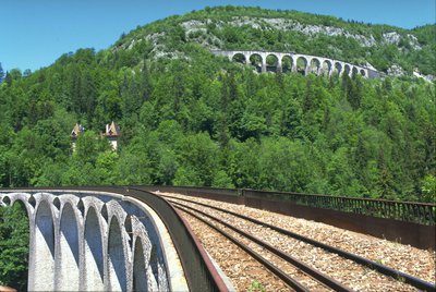
The landscapes and structures along the railway line that serves the High Jura - now called the “Ligne des Hirondelles” (Swallows’ line) - have contributed towards a story of true human adventure. This line was born from the engineering and the tenacity of men who, between 1860 and 1912, laid one hundred and twenty-three kilometres of tracks, drilled thirty-six tunnels, and built eighteen viaducts - the most famous of which linked Morbier to Morez. With competition from roadways, the line lost most of its past economic interest but soon became a touristic attraction.
The houses called “les Cuisiniers” (the Cooks) are named after the kitchens that were once set up to feed the railway line workers during the early 20th century.
Learn more about the “Ligne des Hirondelles”: www.saint-claude-haut-jura.com/ligne-hirondelles.html
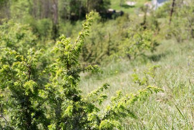
Pelouse sèche - PNRHJ / Nina Verjus FloraDry grasslands
Junipers, also called the “pauper’s pepper”, attest to the dryness of this nutrient-poor and calcareous soil which is typical of dry grasslands. The very name “dry grassland” refers to a dry land subject to arid conditions for part of the year. This dryness is not necessarily the result of a lack of rainfall. It is mainly due to the nature of the soil: a draining (with limited water reserves), thin, nutrient-poor soil that is exposed to the sun for long periods of time.

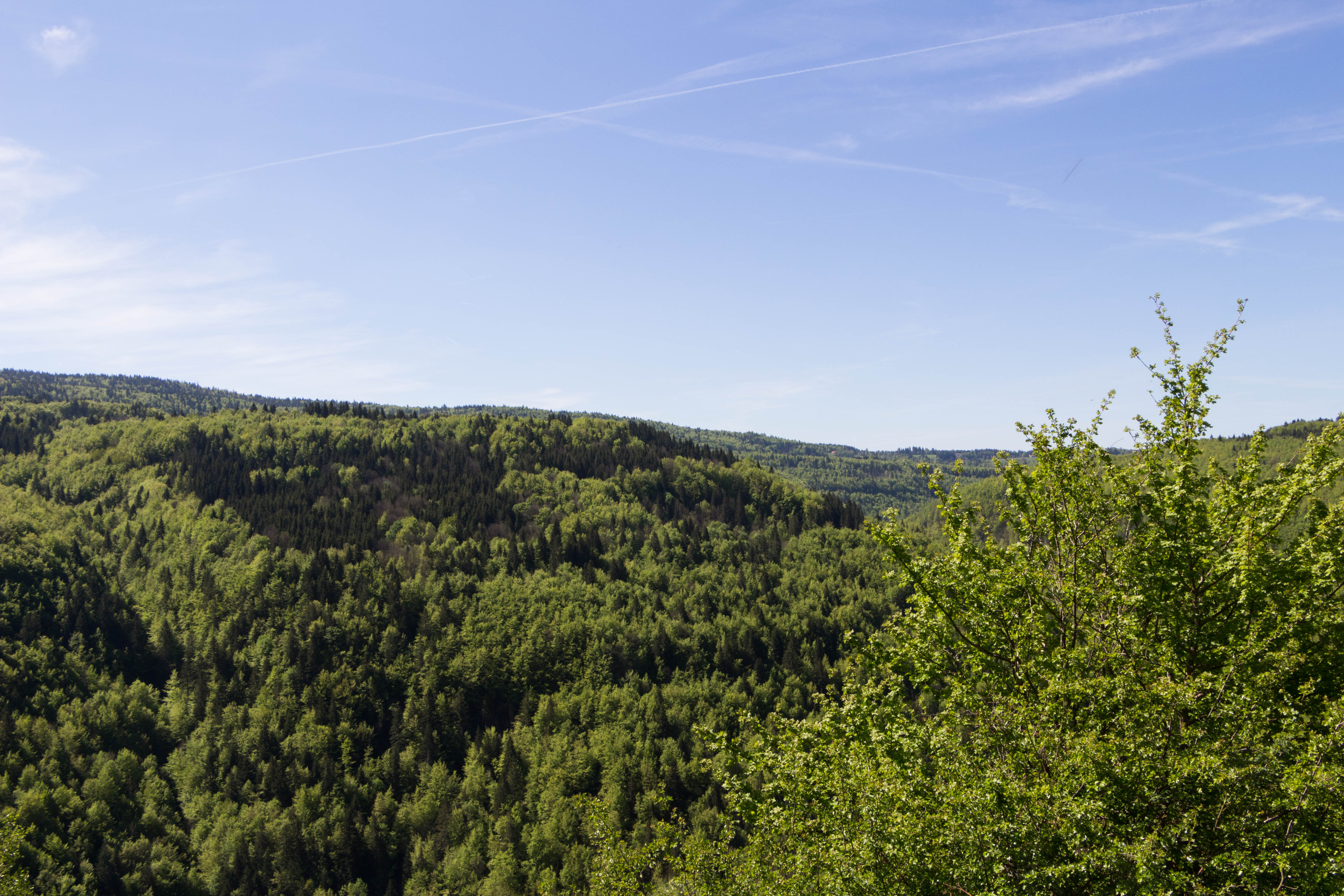
Point de vue - PNRHJ / Nina Verjus History & HeritageThe Gouille au Cerf tunnel
Notice the entrance to the Lézat tunnel, also known as the Gouille-au-Cerf tunnel. This tunnel is 1,742 meters long and was built between 1906 and 1911. With 9 viaducts and 18 underpasses, it is one of the longest structures on the line between Morez and Saint-Claude, the last section of the Andelot - La Cluse line, which opened on 10 August 1912. Today, the line is known as the “Ligne des Hirondelles” (Swallows’ line) due to the heights of its viaducts and its winding path through the Jura mountains.
Learn more about the “Ligne des Hirondelles”: www.saint-claude-haut-jura.com/ligne-hirondelles.html
Description
From TANCUA, the trail (yellow waymarking) follows the D 26 towards Les Mouillés for 50 m before descending to the left towards les Tillettes. At "rue de la Forge", turn left and head past the last houses named "les Cuisiniers" (the Cooks).
The path heads downwards in an even slope bordered by ash hedges. In three main bends, it passes through former pastures. The trail heads into a wooded area and leads to a small stream. Continue along the trail in the same direction and head past a second stream before coming to The pasture.
A winding and steep trail (white and red waymarking) heads up the meadow. Follow the trail's many bends and exit onto the road, heading back up to the village.
At "Route de la Bienne", return to (yellow waymarking) the Town Hall through "rue de la Bienne" (from Morez to Saint-Claude, villages were built on the eastern slope of the Bienne valley, basking in the sunlight and making use of the small flat).
- Departure : Tancua, near the Town Hall
- Arrival : Tancua, near the Town Hall
- Towns crossed : Morbier
Forecast
Recommandations
Be careful when crossing streams.
This trail passes through pastures with livestock and forest paths. To respect the owners and farmers granting you passage, and for the security of livestock and wild fauna, we ask that you remain on the waymarked paths. Use the adapted passageways to get across fencing and be sure to close gateways behind you.
Please keep your dog on a lead if you have one.
Wild flowers are beautiful, they may be rare and protected and often wilt quickly. Do not pick them! They will delight the next hikers.
In case of forest works (felling, skidding, etc.), for your safety, know when to stop and turn around.
Information desks
Tourist information centre - Haut-Jura Morez
Place Jean Jaurès, 39403 Morez
Transport
To visit and get about in the High-Jura, visit www.reshaut-jura.fr, the eco-mobility portal listing all means of transport within the Park.
Access and parking
3km southwest of Morbier via the D26.
Parking :
Report a problem or an error
If you have found an error on this page or if you have noticed any problems during your hike, please report them to us here:
