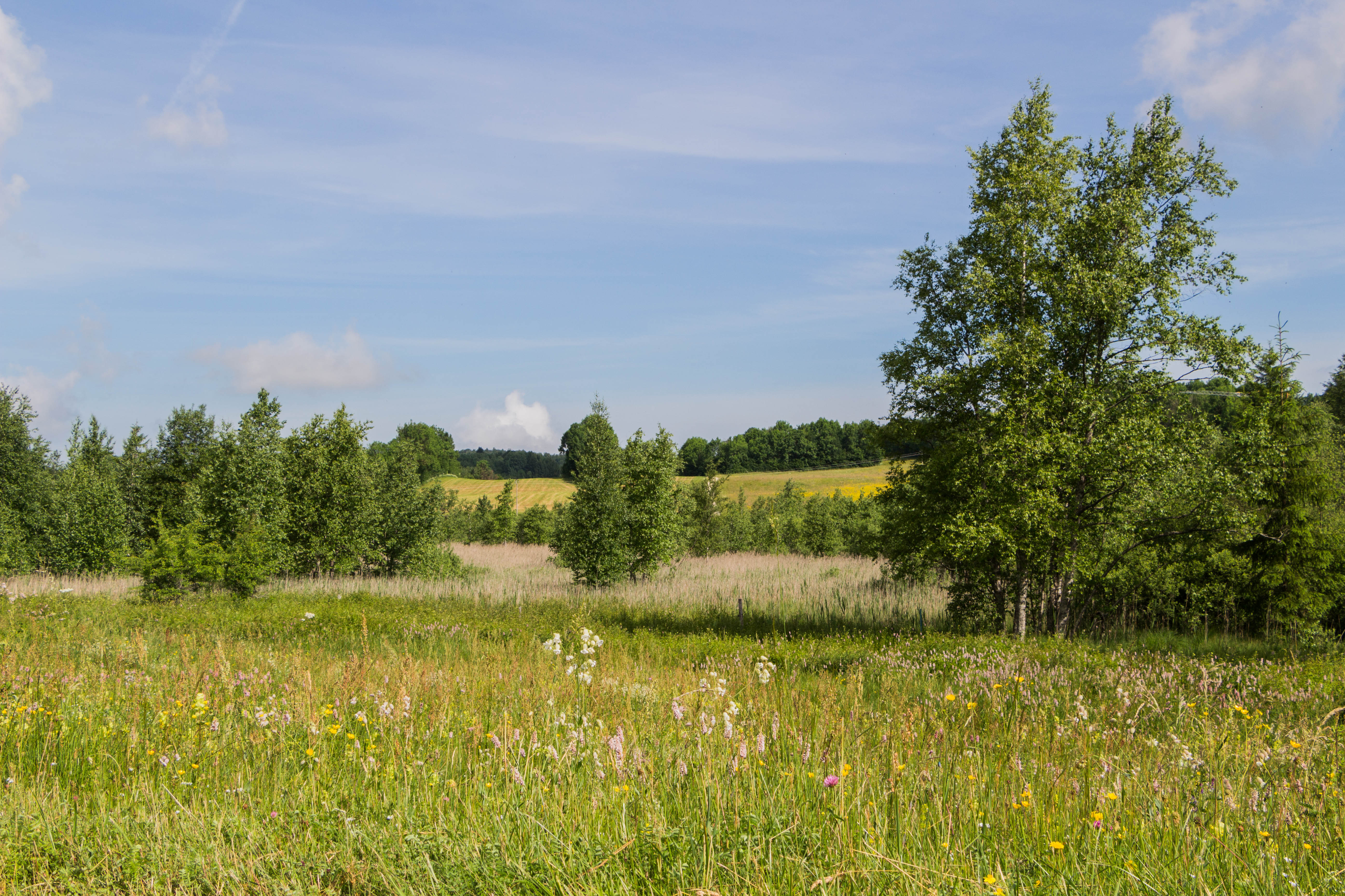
Fort-du-Plasne Lake
A real natural patchwork unfolds before your eyes, roaming along the ridge that overlooks the two villages; in the summer, the dense and dark coniferous forests contrast with the raw green of the pastures, the ochre of the peat bogs, and the blue tones of the lakes. To this work of art, the arrival of autumn brings the sepia of reddening leaves, that the winter will soon cover with a white blanket lasting just a few months. The start of spring will once again reveal the colour palette of this mosaic of landscapes.
A different picture can be seen and rediscovered every season…
4 points of interest
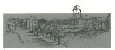
Centre village de Fort du Plasne - Roman Charpentier History & HeritageVillage-centre of Fort-du-Plasne
In Fort-du-Plasne, public structures are lined along the main road (school, post office, town hall, fountain, monument to the dead and cheese dairy). Once upon a time, in addition to its administrative functions, the town hall also offered services such as public baths; this was the case of the town hall in Fort-du-Plasne
Tourbière de Fort-du-Plasne - PNRHJ / Nina Verjus Natural environmentsThe peat bog: a carbon well
The need to protect peat bogs is a recent revelation. These fragile environments play an important role in maintaining water quality and in naturally combatting the effects of drought and climate change. Plants absorb carbon dioxide (CO2) from the air by photosynthesis to form their tissue: leaves, trunk, stems, etc. When they die, they are decomposed by microorganisms in the ground and return the carbon into the air. But in a peat bog, the presence of water prevents decomposing organisms from working, which traps the carbon in the peat. Peat bogs only represent 3% of the surface of emerged land, but they store 30% of the Earth soils’ carbon!
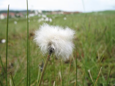
Linaigrette - PNRHJ / Pierre Levisse FloraCotton grass
Cotton grass, resembling a cotton bud with a white feathered end, is easily recognisable in peat bogs. Its meter-long roots enable it to store nutritional reserves, as the ground is very low in minerals. It’s a plant that is suited to a northern climate (cold). It was widespread across Europe a few thousand years ago. However, the climate subsequently grew warmer and it only survived in Scandinavian countries and in peat bogs, where no other plant is able to replace it.
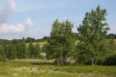
Tourbière de Fort-du-Plasne - PNRHJ / Nina Verjus FloraCharacteristics of the flora in peat bogs
The species living in peat bogs have adapted to the omnipresence of water, to few nutritional resources, to the chemical composition of the soil - which, in calcareous regions, can be acid or basic - and to a rather cold climate.
Description
The itinerary heads up the village (yellow waymarking) via the Main road, passes the Round Fountain, and comes to the last house.
The white, well-paved path to the right heads towards the Fort-du-Plasne lake (its water level quickly varies depending on rainfall), bordered by peat bogs, and soon reaches Les Voigneurs. You will follow the road to the left, and then a steep path until you reach the rigdge, at the La Corne signpost.
In the pasture, head down to your right, pass a fence and follow a white path. Continue, following along the path with the fencing to your right. After passing a second drinking trough, the trail ascends back up to the ridges before cutting through a large pasture towards the forest and a road suitable for vehicles. Follow the trail through the forest until you reach The Ridge.
After crossing the road, the wide forest path opens onto a large clearing and continues on to the Well (cattle grid).
The path takes a sharp turn to the right towards Fort-du-Plasne. Head past a 100-meter fence and, at les Côtes, take the gravel road to the right that follows along a low wall, before skewing off to the left. After crossing a wooded meadow and a wooded area, take the easy descent to return to FORT-DU-PLASNE.
- Departure : Fort-du-Plasne church parking lot
- Arrival : Fort-du-Plasne church parking lot
- Towns crossed : Fort-Du-Plasne and Lac-Des-Rouges-Truites
Forecast
Sensitive areas
- Impacted practices:
- Aquatic,
- Sensitivity periods:
- JanFebMarAprMayJunJulAugSepOctNovDec
- Contact:
- Parc naturel régional du Haut-Jura
29 Le Village
39310 Lajoux
03 84 34 12 30
www.parc-haut-jura.fr/
Recommandations
This trail passes through pastures with livestock and forest paths. To respect the owners and farmers granting you passage, and for the security of livestock and wild fauna, we ask that you remain on the waymarked paths.
Use the adapted passageways to get across fencing and be sure to close gateways behind you. Please keep your dog on a lead if you have one.
Wild flowers are beautiful, they may be rare and protected and often wilt quickly. Do not pick them! They will delight the next hikers.
In case of forest works (felling, skidding, etc.), for your safety, know when to stop and turn around.
Information desks
Tourist information centre - Haut-Jura Grandvaux
7 place Simone Veil, 39150 Saint-Laurent-en-Grandvaux
Transport
To visit and get about in the High-Jura, visit www.reshaut-jura.fr, the eco-mobility portal listing all means of transport within the Park.
Access and parking
7 km northeast of Saint-Laurent-en-Grandvaux via the N5, then the D 62.
Parking :
Report a problem or an error
If you have found an error on this page or if you have noticed any problems during your hike, please report them to us here:
